Satopanth Lake Trek
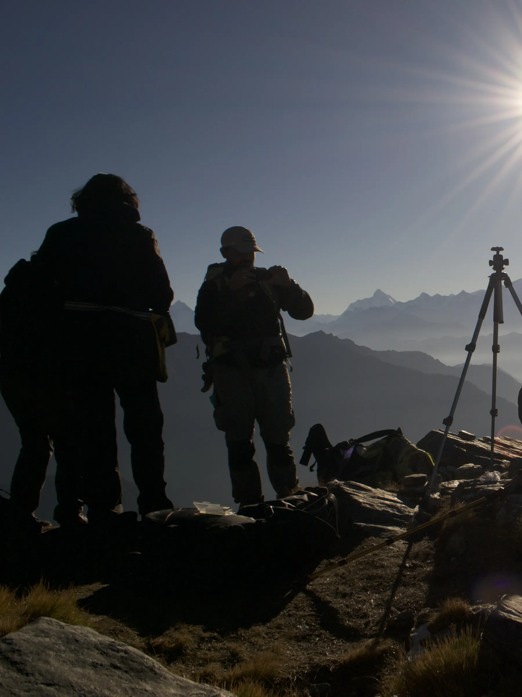
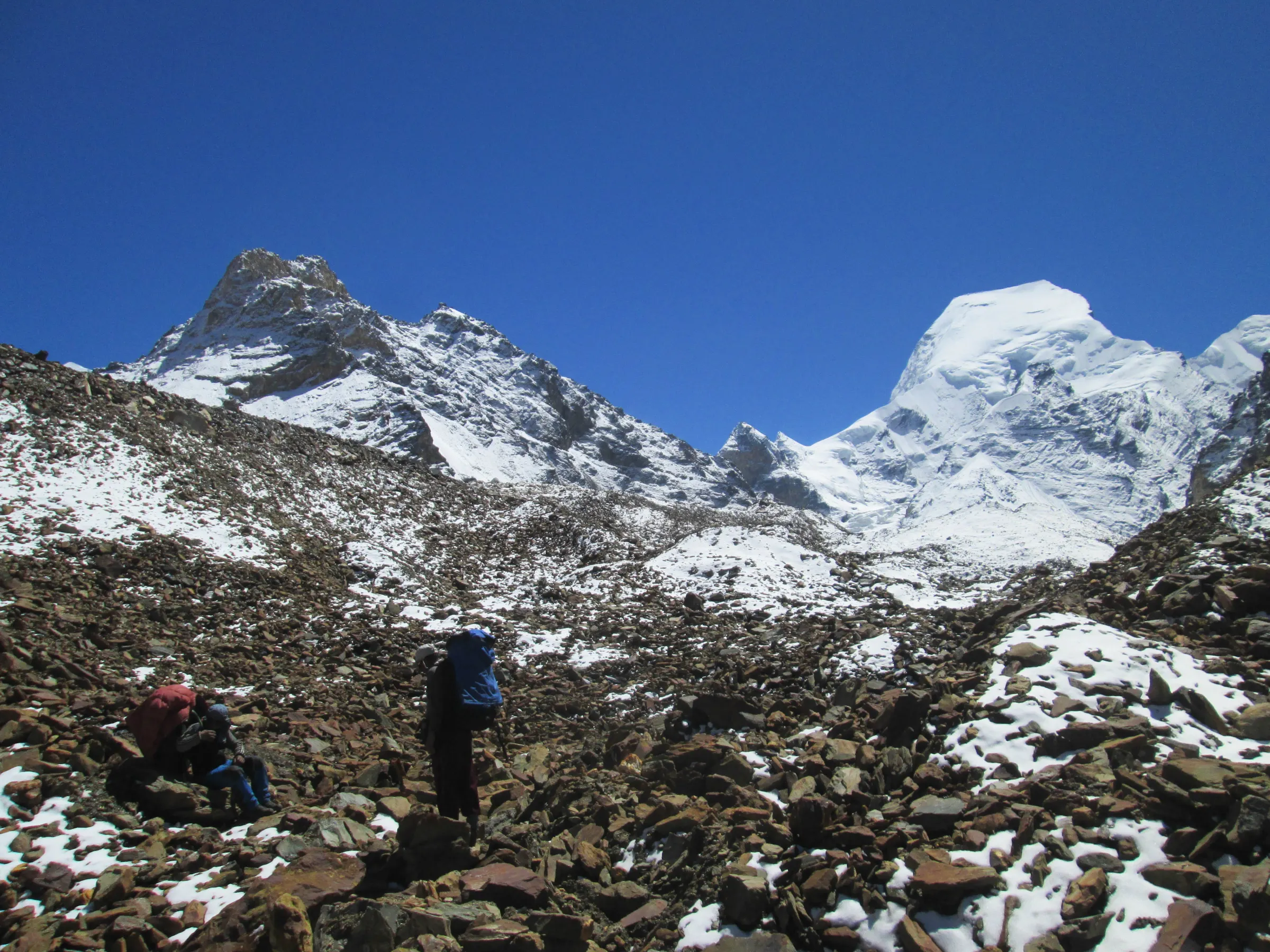
Walk past the last village on the Mana route to a triangular glacial lake ringed by Chaukhamba, Neelkanth and Balakun.
By difficulty
By duration
By month
By name
Where we walk
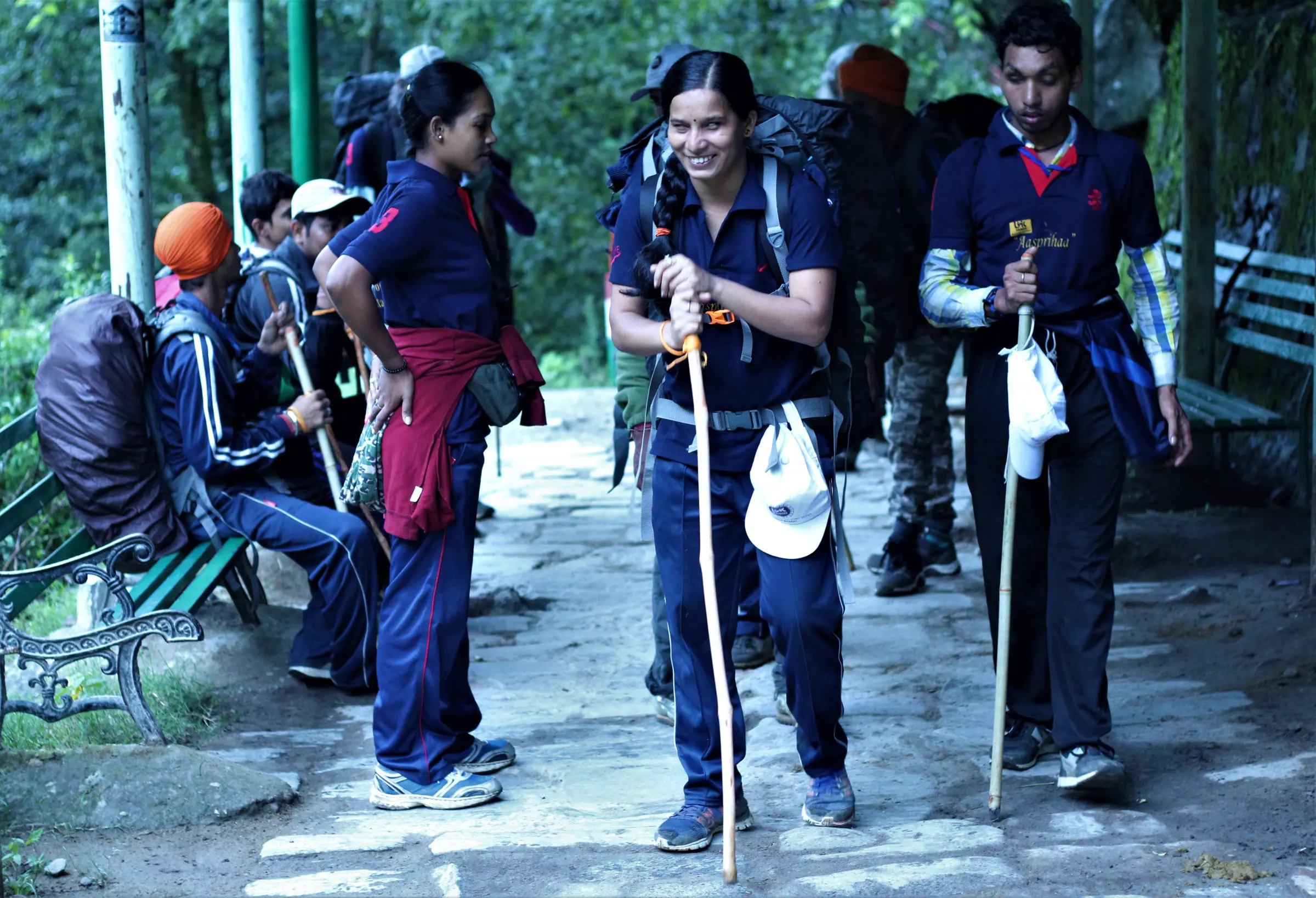
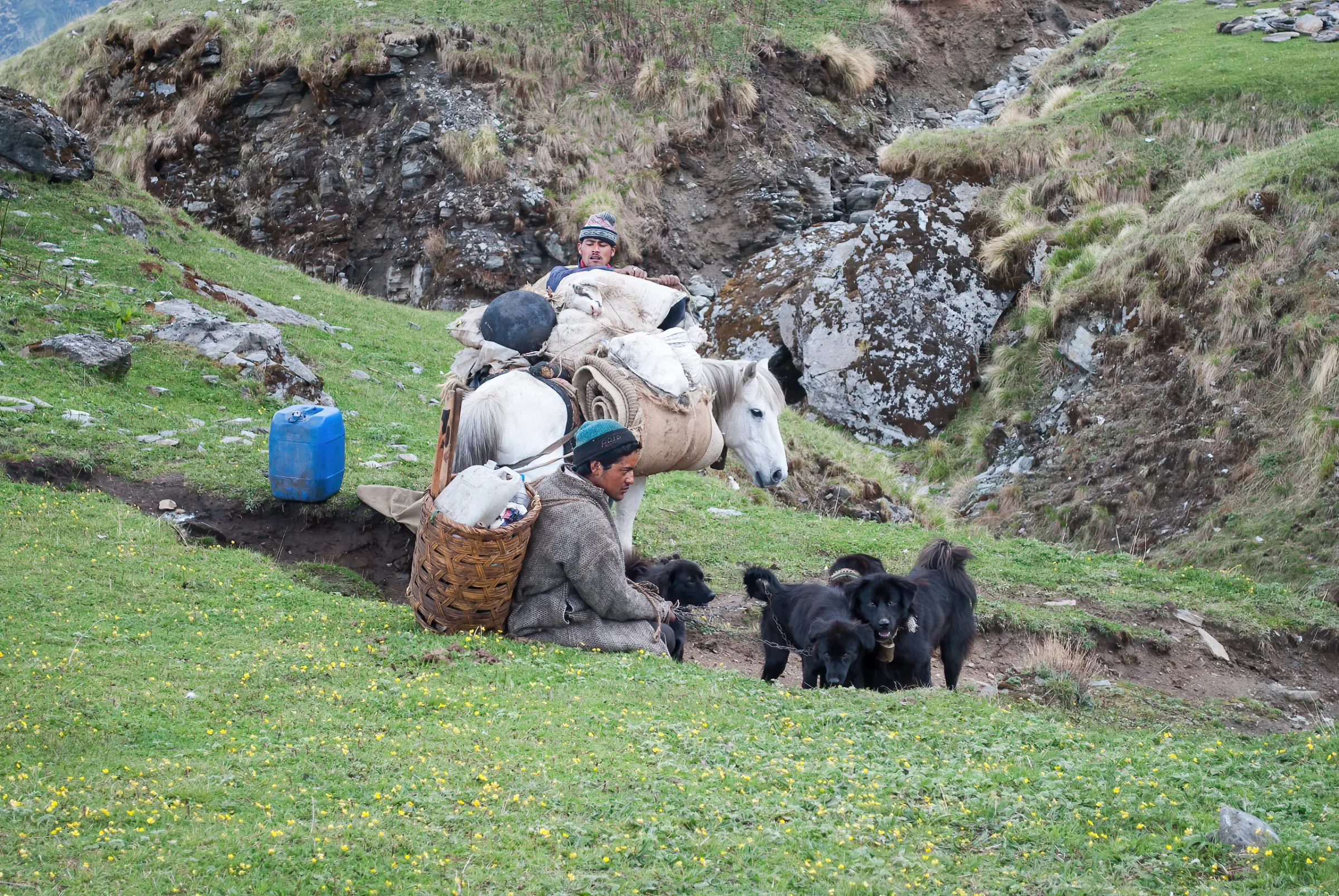
All of our treks start within a few hours of each other in the Garhwal — Lohajung, Joshimath, Mana. That concentration is deliberate. It means our leaders are on the same trails every season, in every condition, and they know what a slope looks like when it is safe and when it is not.
We run fixed-departure treks on seven trails in the Garhwal Himalaya. Small groups, trained local leaders, and seat counts that reflect what is actually available.
Based in Karchon, Post Tapovan, Block Joshimath, Joshimath 246443, Uttarakhand, India. Call us on +91 72529 10566.
The trails
Walk past the last village on the Mana route to a triangular glacial lake ringed by Chaukhamba, Neelkanth and Balakun.
A rolling grassland trek above Lohajung, with Trishul and Nanda Ghunti standing directly over the campsite.
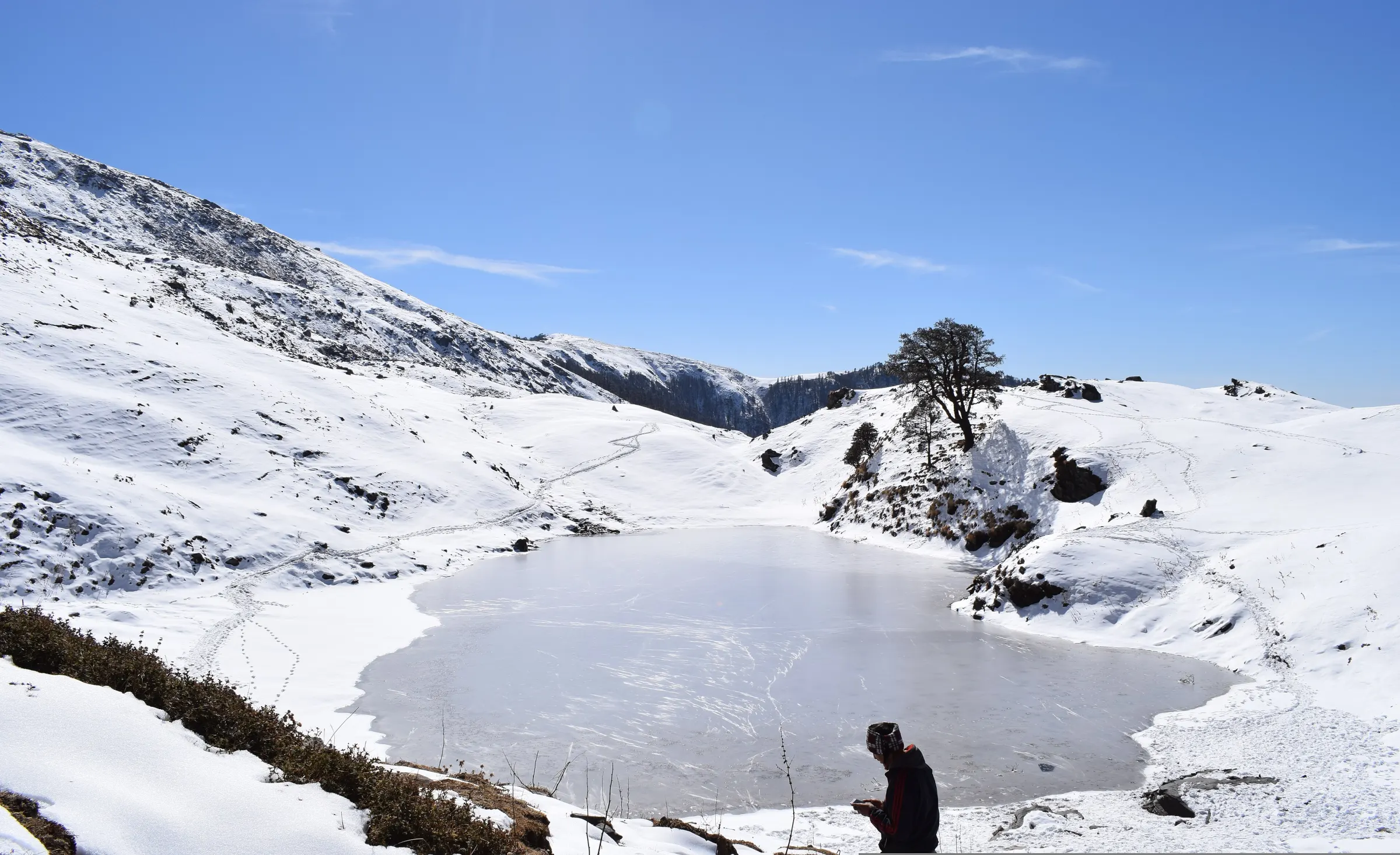
Snow underfoot from the first day, oak and rhododendron forest, and an open ridge that holds Trishul in view for hours.
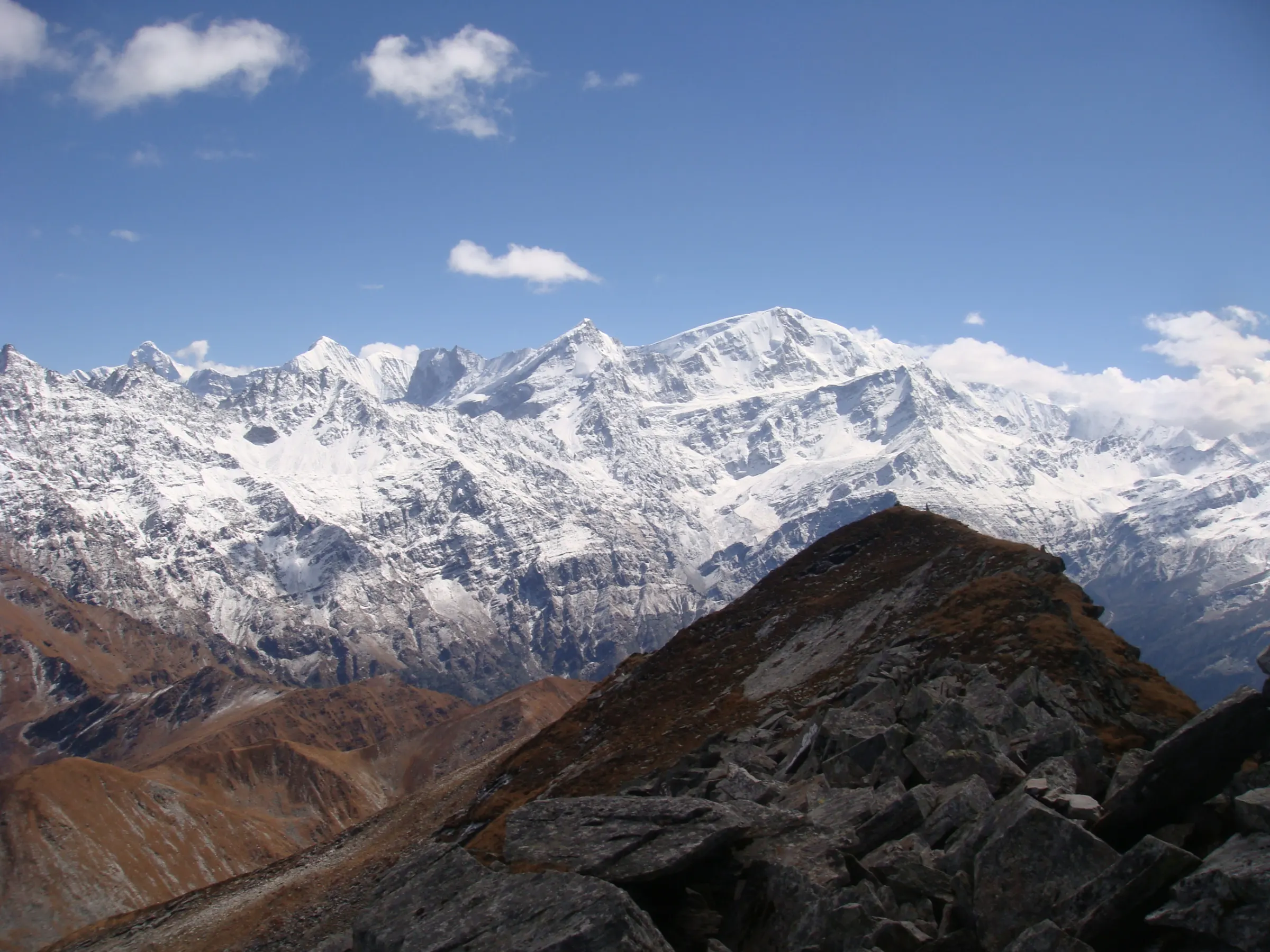
A summit trek to 15,069 ft with a genuine snow-climb finish, approached through the Dyalisera meadows.
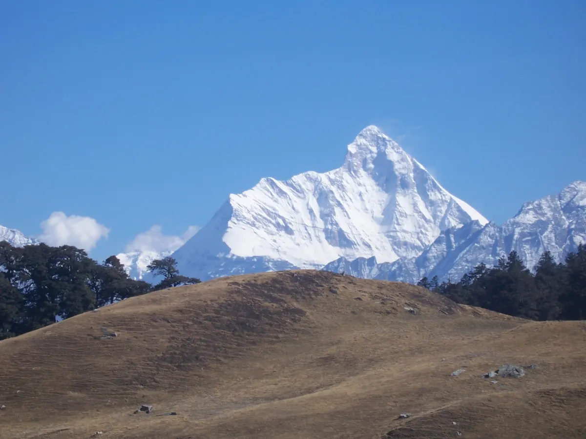
The same 15,069 ft summit, approached over seven days through Tugasi village for a safer acclimatisation curve.
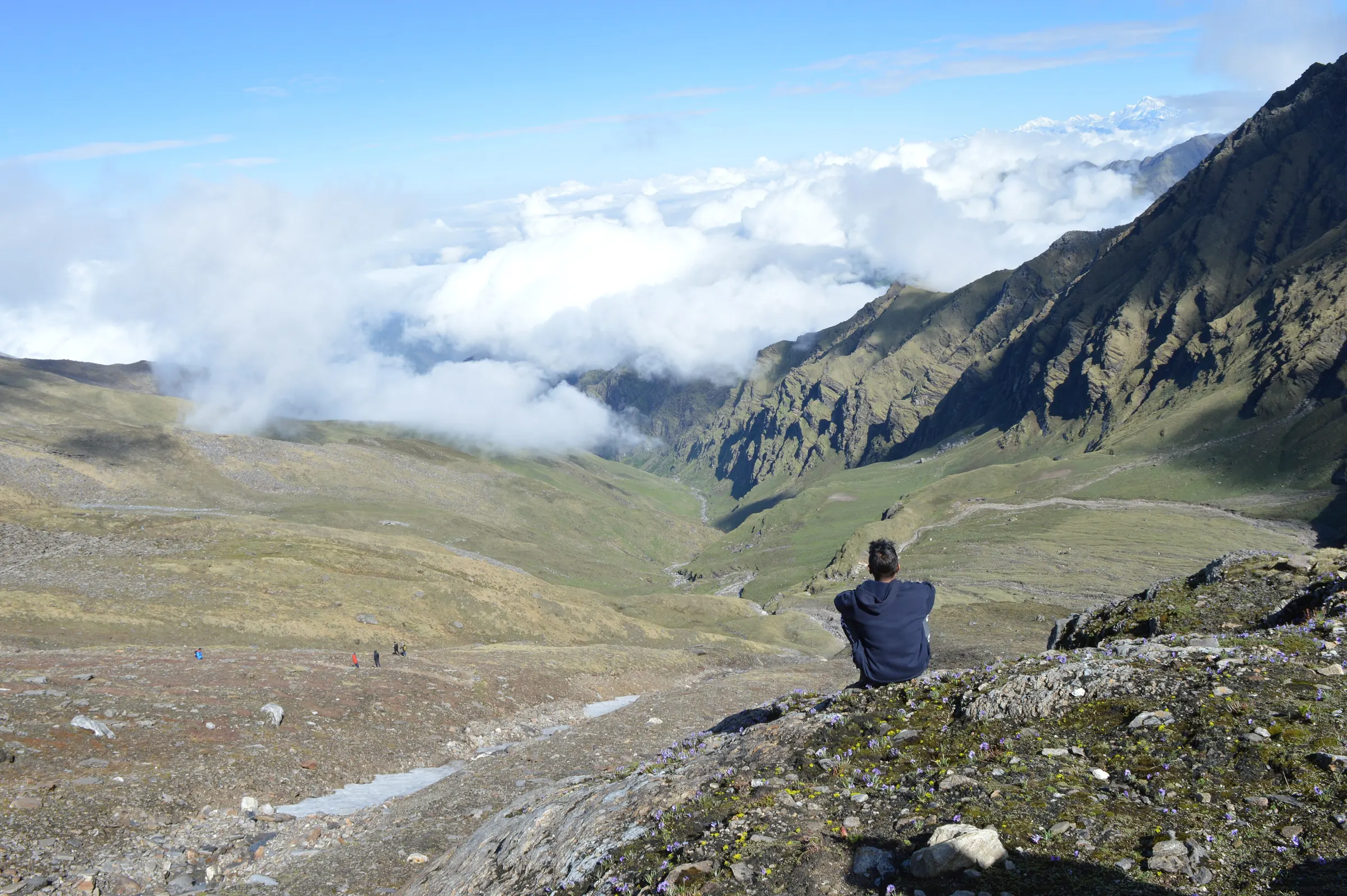
Eight days from Lohajung across Ali and Bedani Bugyal to a small glacial lake at 15,750 ft.
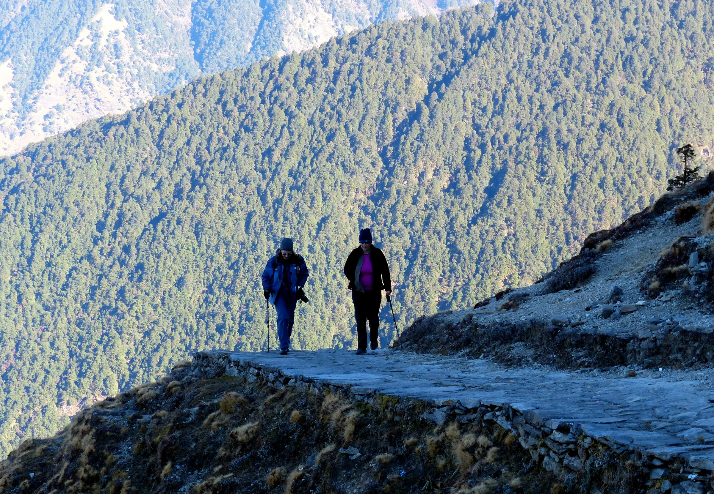
Eleven days linking Kedarnath, Tungnath, Rudranath, Madhyamaheshwar and Kalpeshwar across the Garhwal.
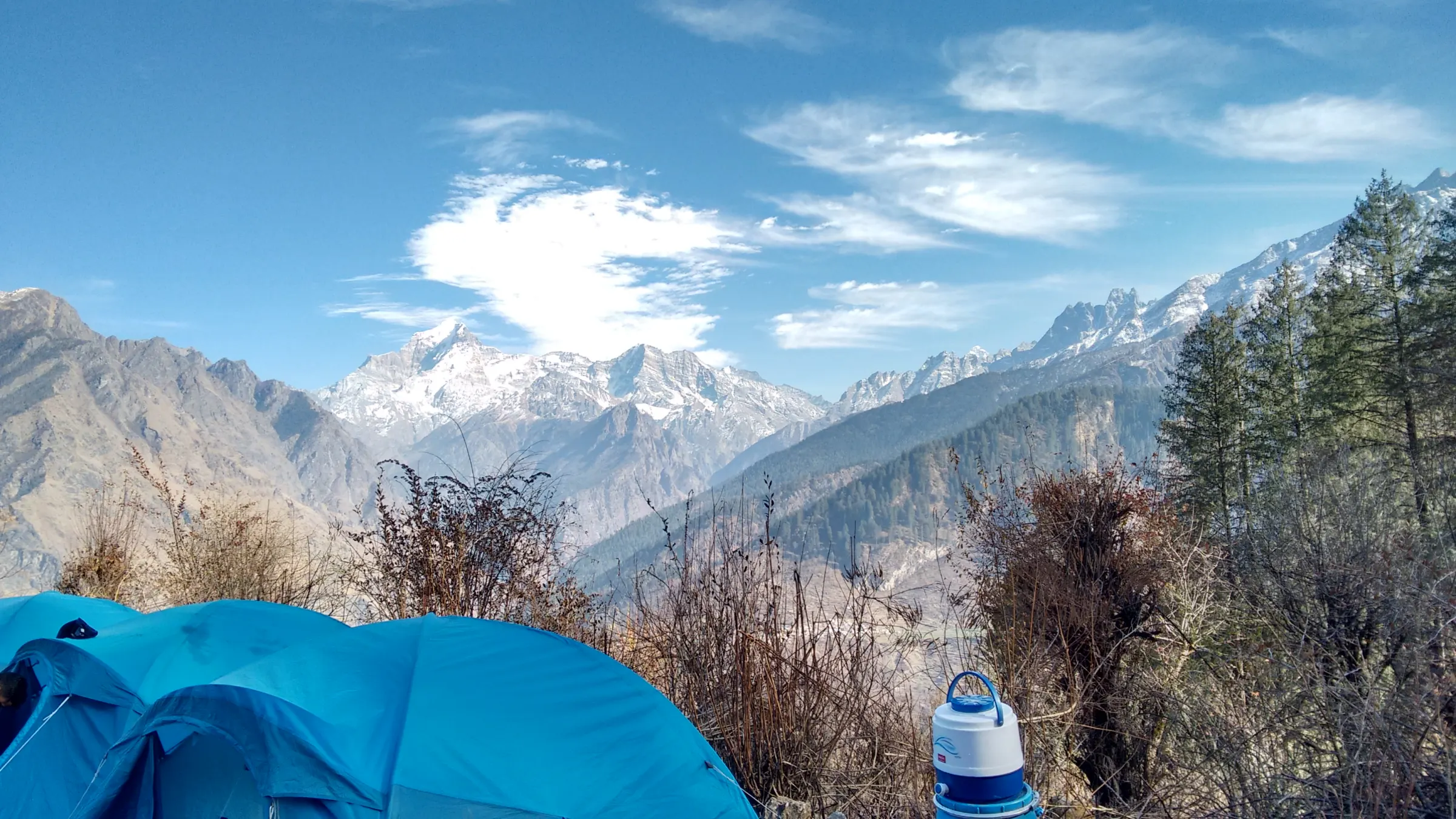
Meadow and oak-forest walking from Joshimath to a 12,500 ft pass that looks straight at Nanda Devi, Dronagiri, Kamet and Chaukhamba.
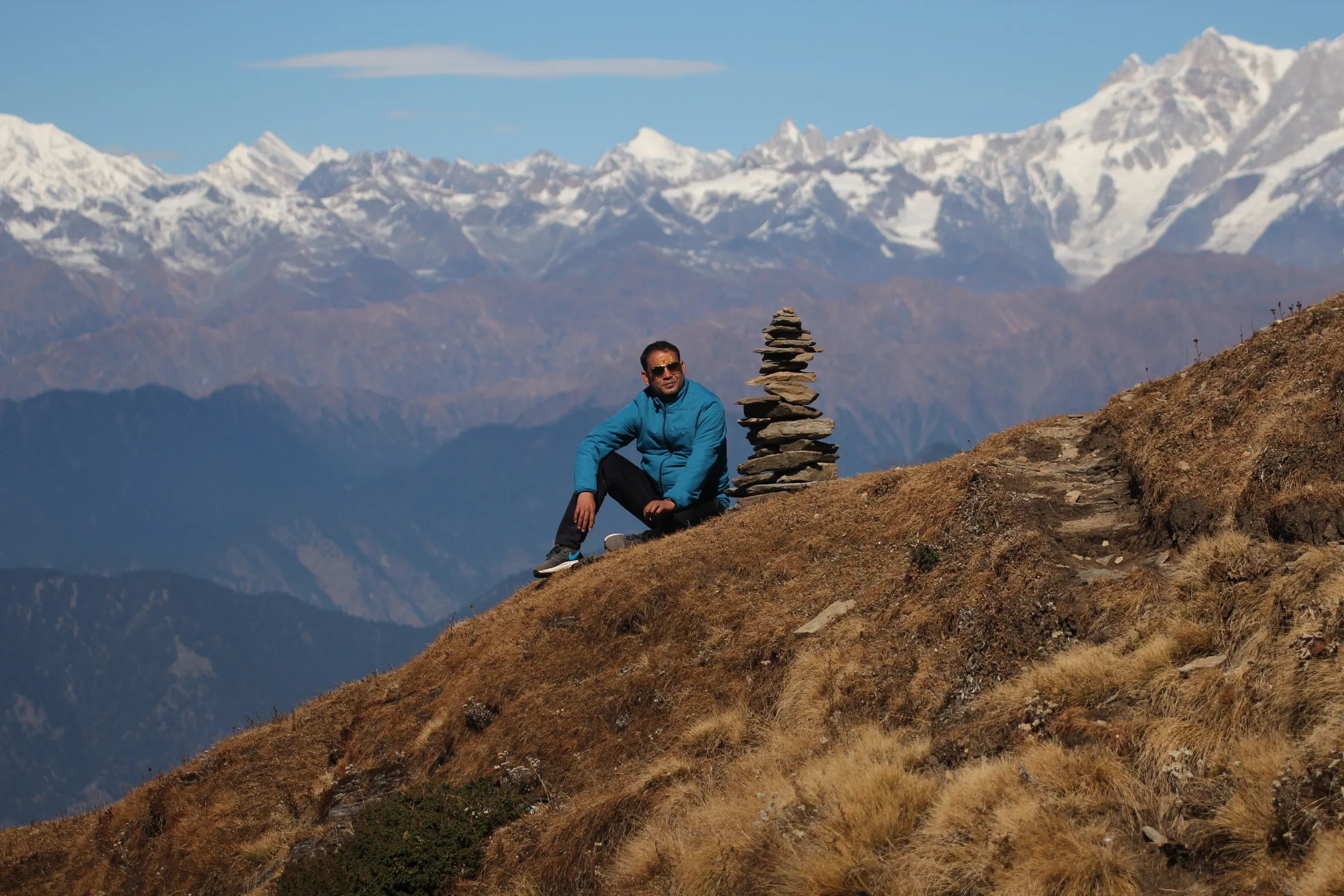
A short, steep, paved trail from Chopta to Tungnath temple and on to the Chandrashila summit, with Nanda Devi, Trishul and Chaukhamba at sunrise.
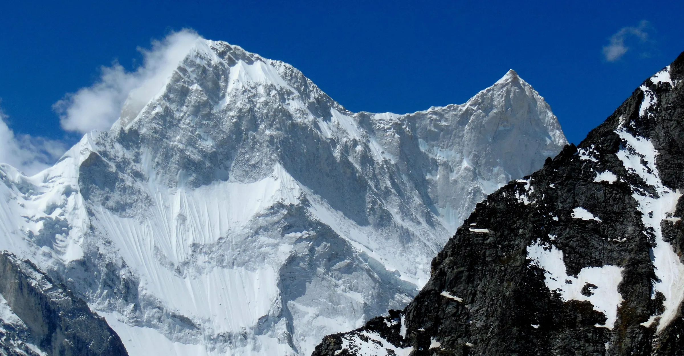
A serious trek from the road-head at Jumma through Dronagiri village to the Bagini glacier, under the granite face of Changabang.
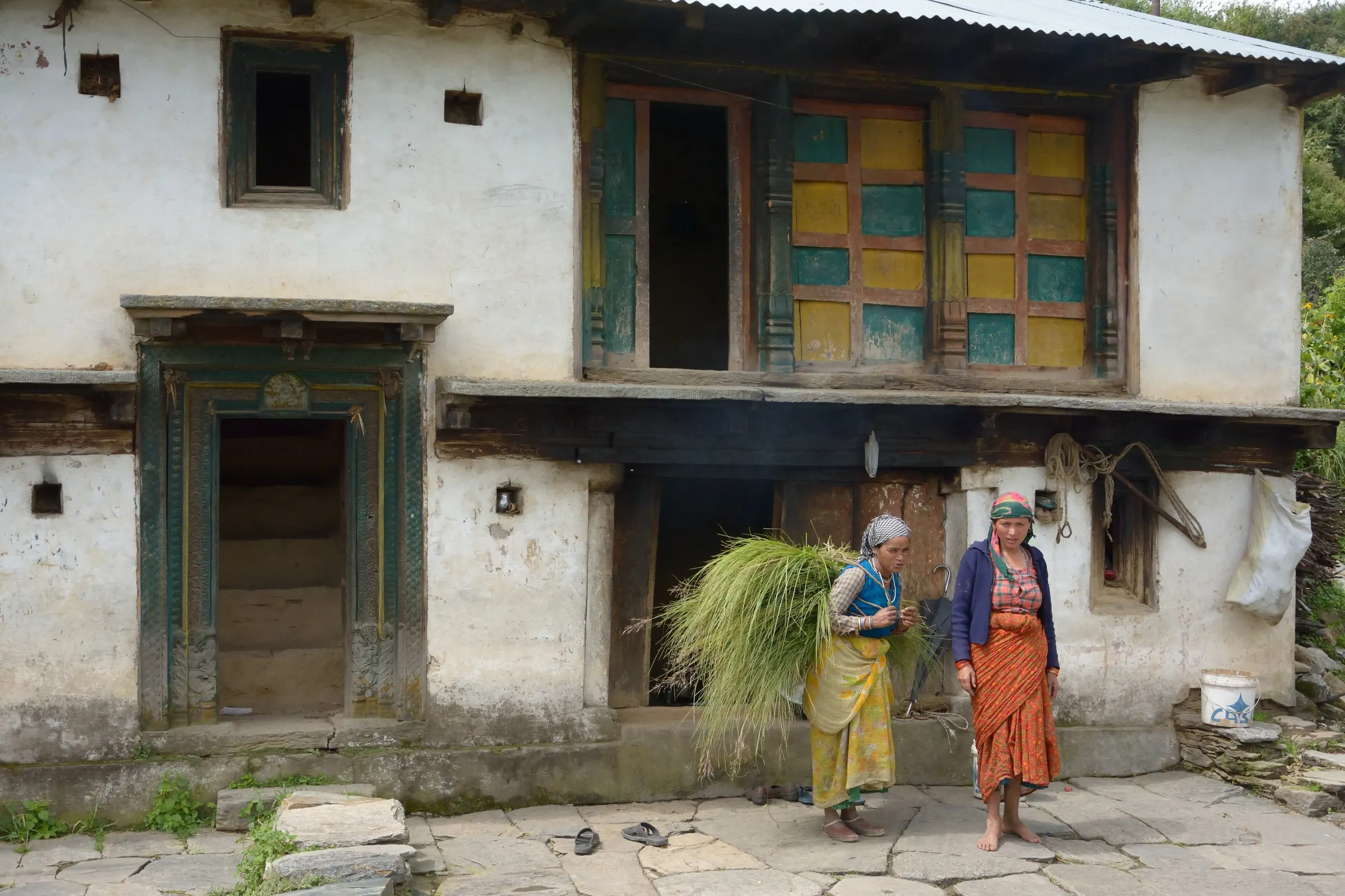
A little-walked trail from the Urgam valley near Joshimath to Saptkund, a cluster of seven glacial lakes below the Nanda Ghunti–Trishul ridge.
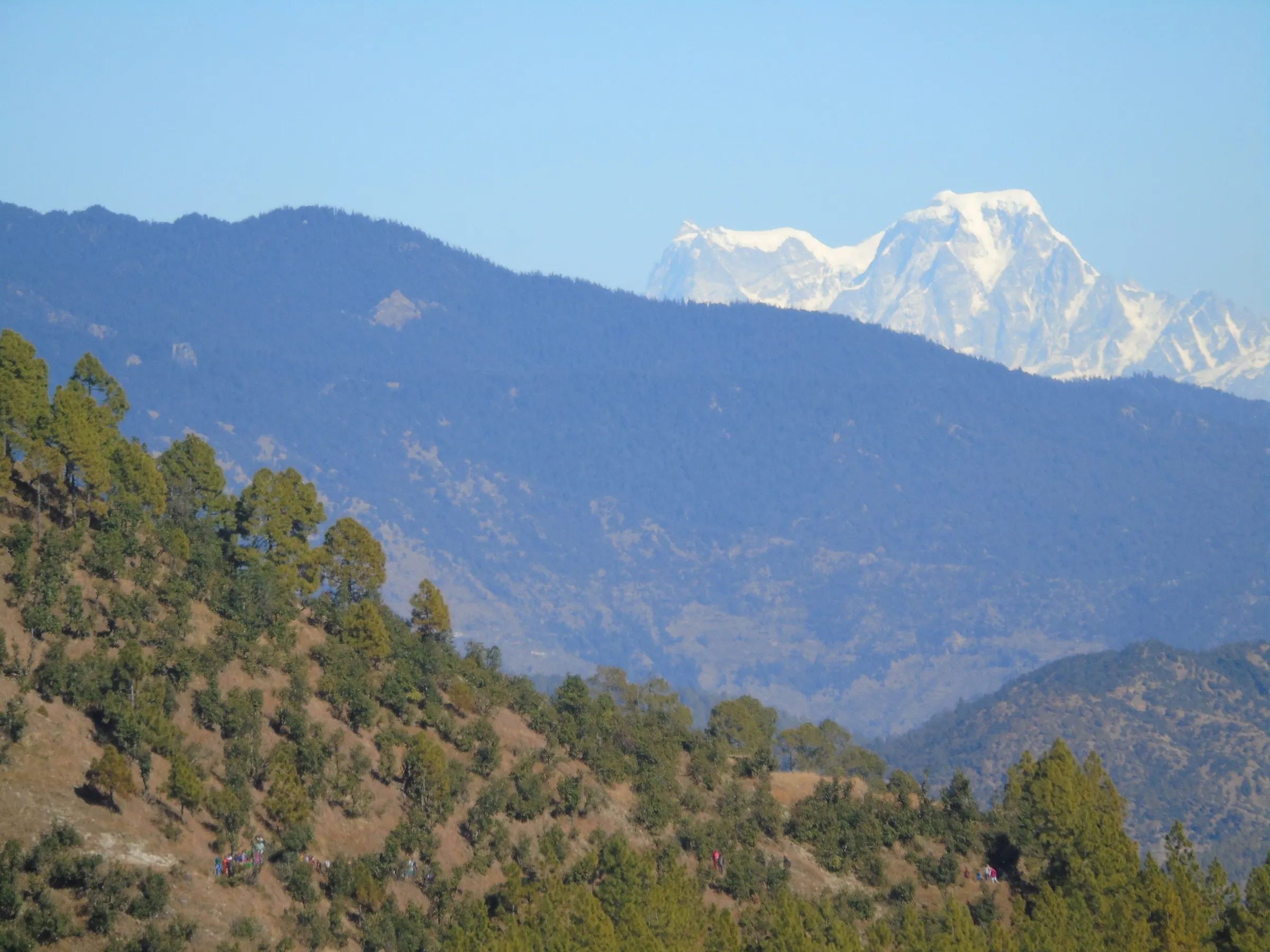
A demanding trek from Bhyundar village near Govindghat over Kankul Khal to Kagbhusandi Tal, a green lake at 16,500 ft below Hathi and Ghoda Parvat.
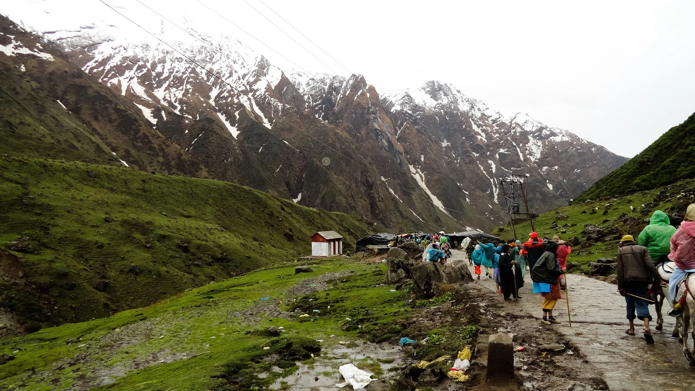
The full Char Dham circuit by road from Haridwar, with the Yamunotri and Kedarnath trails on foot, led by a team from Joshimath who know every stop.
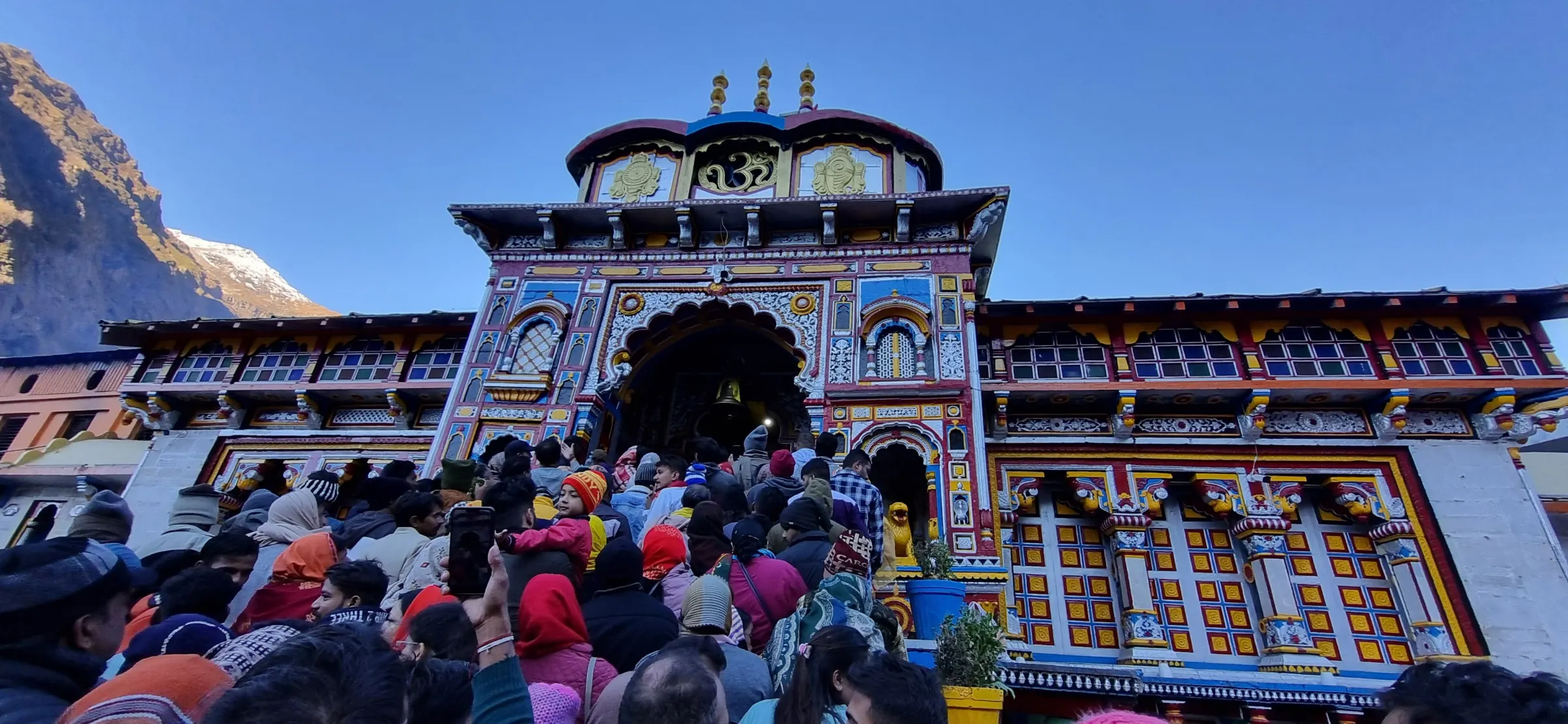
Kedarnath and Badrinath from Haridwar or Rishikesh — the 16 km Kedarnath trek with a leader, then Badrinath and Mana by road.
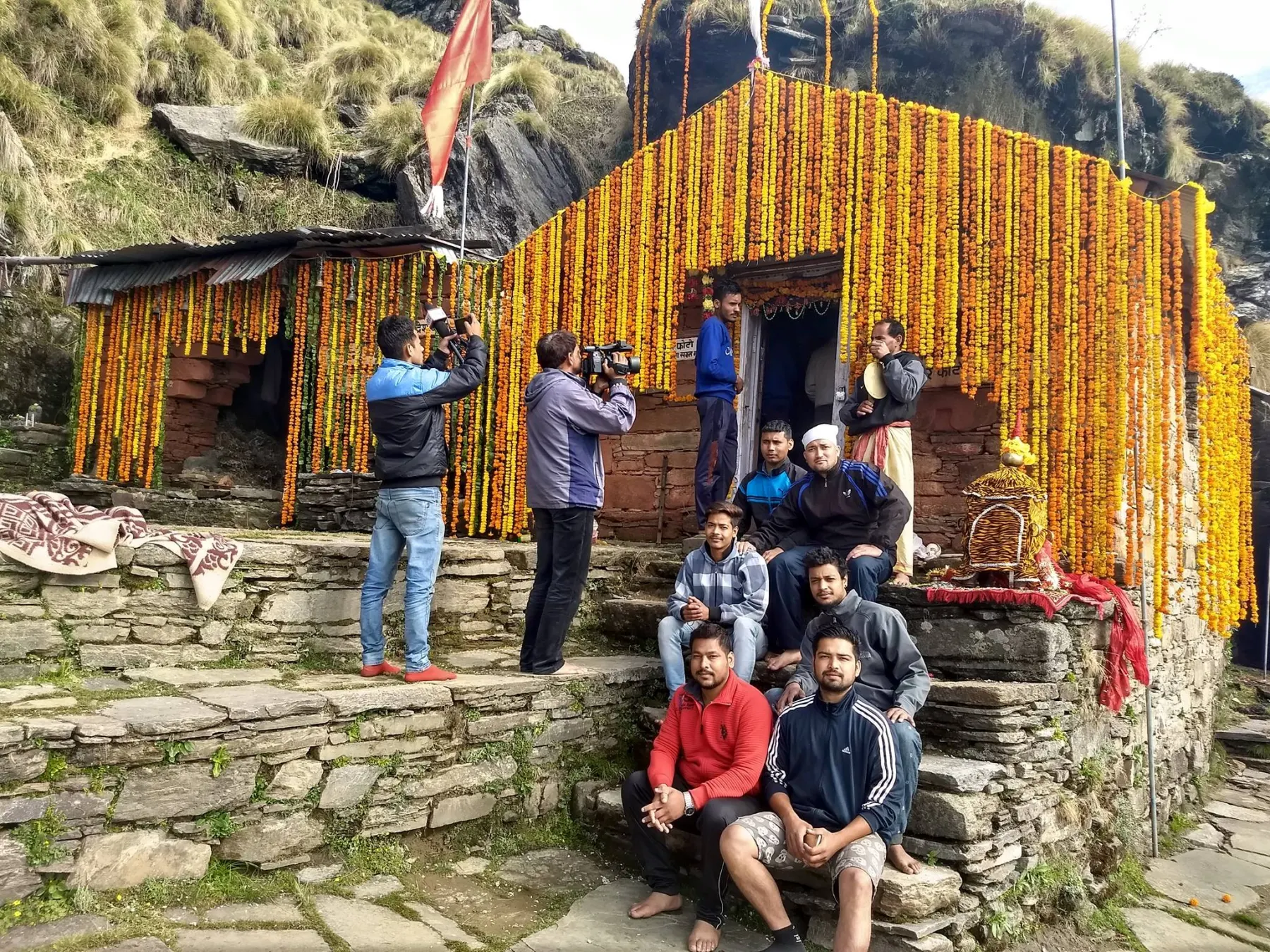
A five-day trek from Sagar village near Gopeshwar through rhododendron forest and the Panar and Pitradhar meadows to the Rudranath temple at 11,800 ft.
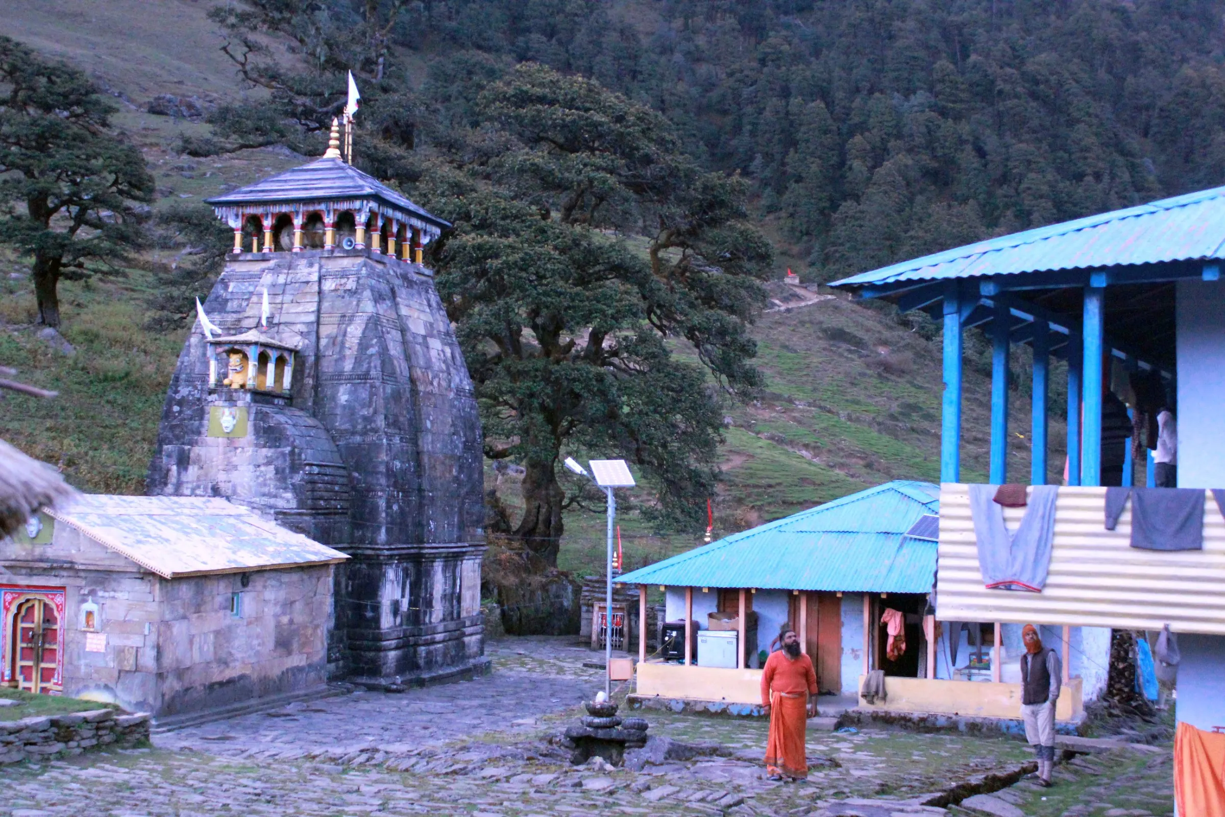
A five-day trek from Ransi village near Ukhimath to the Madhyamaheshwar temple, with the extra climb to Buda Madmaheshwar for the Chaukhamba view.
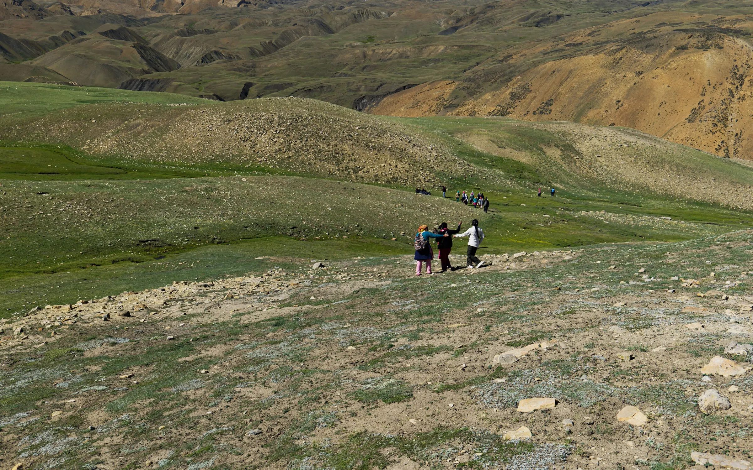
An easy cultural trip up the Dhauliganga from Joshimath to Niti, the last village before the border, with short walks between stone villages and evenings in family homes.
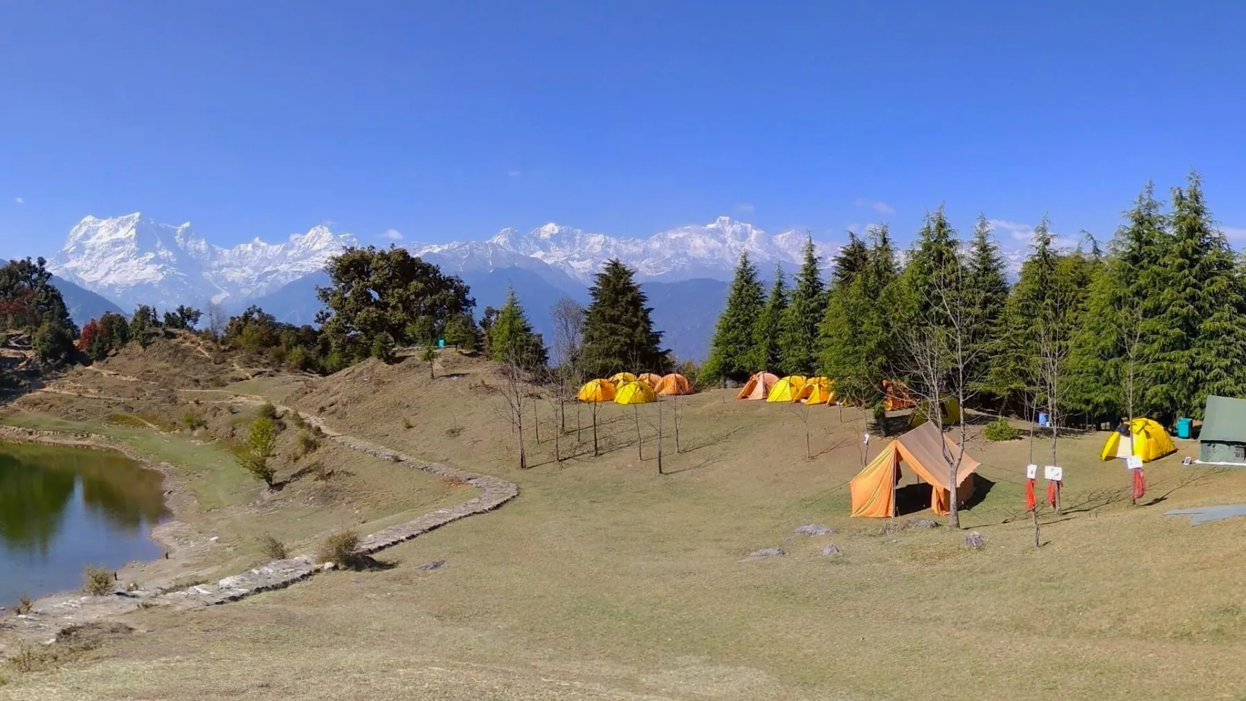
Two days of easy walking to a high meadow near Joshimath — a first taste of the Garhwal bugyals without a long itinerary.
How we work
Departure calendar
Send your number and we will share the dates that still have seats, with an honest read on which of the seven treks suits you.